|
||||
|
||||
|
![]()
![]()
![]()
![]()
![]()
![]()
Wall Maps > World Wall Maps
-
Sale $89.99
- $699.99 (free shipping/handling)
or 6 monthly installments with
PayPal Credit
Retail
$
139- $899
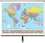
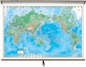
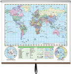
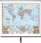
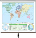
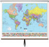
World - Pull Down Classroom Wall Maps on Spring Rollers
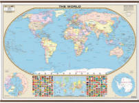
| Advanced Physical World Map | Essential World Map |
|
|
 |
 |
 |
|
| $114.99 - $699.99 (free s/h) | $114.99 - $699.99 (free s/h) | $124.99 - $699.99 (free s/h) | |
| Primary World Map | Beginner's World Map | Large Scale World Map | |
 |
 |
 |
|
| $124.99 - $699.99 (free s/h) | $124.99 - $699.99 (free s/h) | $109.99 - $599.99 (free s/h) | |
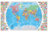
| Shaded Relief World Map | World Map with Flags | ||
 |
 |
|
|
| $89.99 - $599.99 (free s/h) | $29.99 (free s/h) | ||
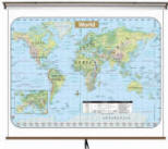
Large mounted World wall map
| US / World Combo Sets | World Wall Maps | USA Wall Maps | North America Map |
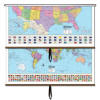 |
 |
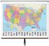 |
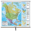 |
| $649.99-$749.99 (free s/h) | $114.99-$699.99 (free s/h) | $114.99-$699.99 (free s/h) | $114.99-$699.99 (free s/h) |
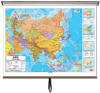
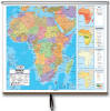
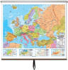
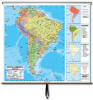
| Asia Wall Map | Africa Wall Map | Europe Wall Map | South America Map |
 |
 |
 |
 |
| $114.99-$699.99 (free s/h) | $114.99-$699.99 (free s/h) | $114.99-$699.99 (free s/h) | $114.99-$699.99 (free s/h) |
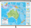
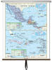
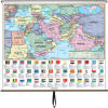
| Australia Wall Map | Central America Map | Middle East & S. Asia | |
 |
 |
 |
 |
| $114.99-$699.99 (free s/h) | $124.99-$699.99 (free sh/h) | $124.99-$699.99 (free sh/h) |
 |
Wall map of the world, world maps, pull down world map, school world map, large wall map, classroom world map
World Globes and Maps make great gifts for Geography Buffs. Perfect as Retirement Travel Gifts, Business & Executive Gifts, Bon Voyage & Graduation Presents