|
||||
|
||||
|
![]()
![]()
![]()
![]()
![]()
![]()
Wall Maps > State Maps
-
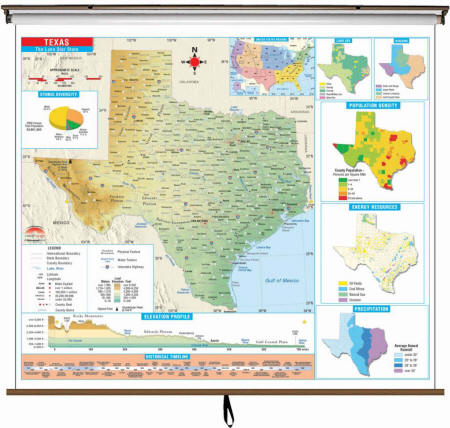
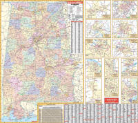
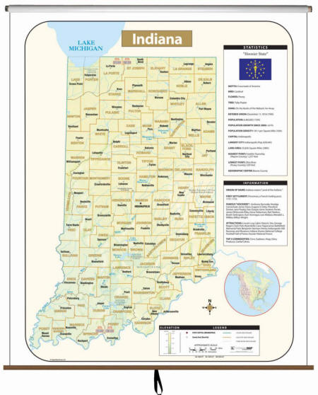
State Wall Maps on Rollers
-
Sale
Price: $149.99
- $599.99 (free
shipping/handling) or 6 monthly installments
with
PayPal Credit
Retail
$
199.00- $799.00
| Durable
& Educational State Wall Maps Our state wall maps are as visually appealing as they are informative - making them an excellent resource for studying state history, regions, economics, government, and geography.
Perfect as both a functional teaching tool and an attractive classroom display. Please call us toll free 877-822-9889 for information about regional and city maps.
Please click here to view Wall Map finishing option descriptions
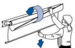
Map Finish & Mounting Options:
If you’d like to frame your map, please call us toll-free at
877-822-9889
for a current quote. |
|
||||||||||
|
Call us toll-free 877-822-9889 or 812-333-2772 for orders/questions Mon.-Sat. 10:00 am-5:30 pm Eastern Standard Time |
|||||||||||
|
State Wall Maps Formats
|
|||||||||||

- Wall Map Mounting Options
- We supply wall maps and world globes to classrooms at our local Monroe County School Corporation
Large rolled wall maps, classroom maps, pull down maps, pull up maps, school maps, markable, mounted State Wall Maps
World Globes and Maps make great gifts for Geography Buffs. Perfect as Retirement Travel Gifts, Business & Executive Gifts, Bon Voyage & Graduation Presents